Hurricane Laura Update With Wade Hampton of KPLC
KPLC Chief Meteorologist Wade Hampton joined Mikey O this morning to talk about the latest details on Hurricane Laura and SWLA.
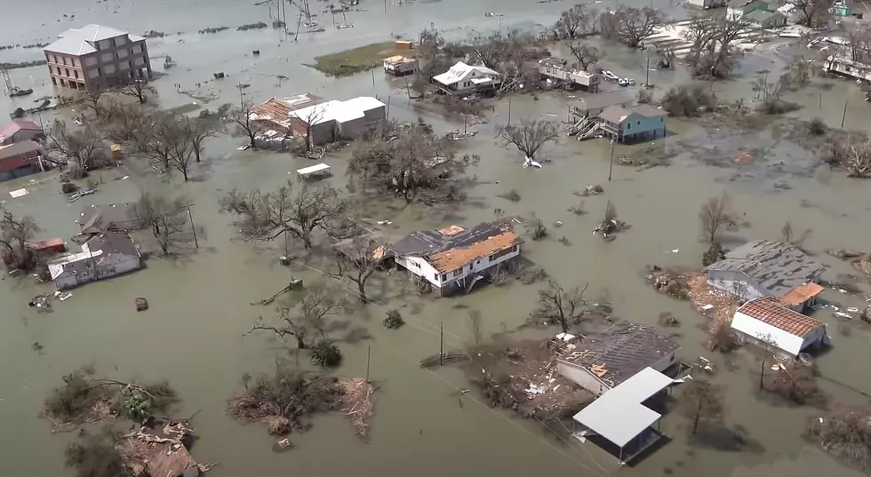
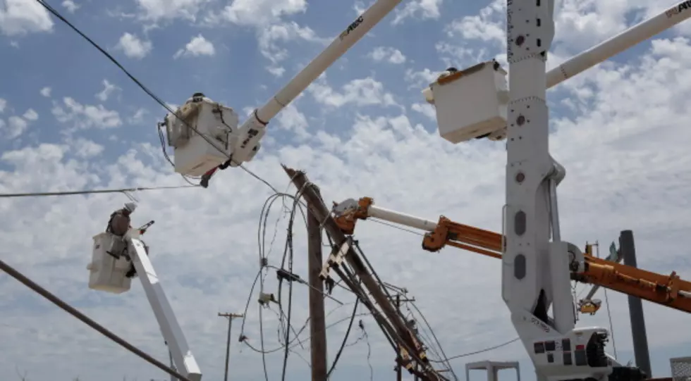
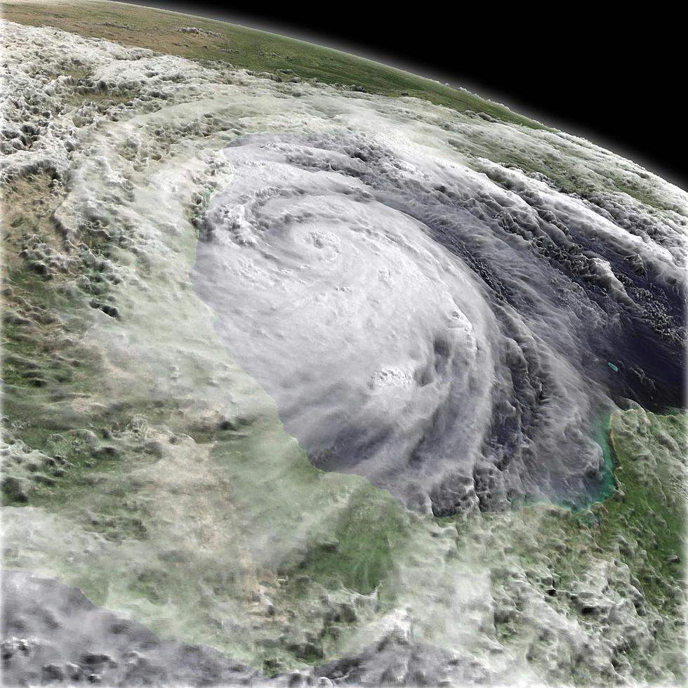
Hurricane Laura is still moving WNW at 17 mph, which means it is slowing down in the warm Gulf of Mexico waters. Currently, the maximum substantiated winds of the storm are 75 mph (Category 1).
National Hurricane Center
Here's the National Weather Service Forecast for SWLA:
- Today - Showers and thunderstorms likely, mainly after 1pm. Partly sunny, with a high near 91. Heat index values as high as 98. Northeast wind 5 to 10 mph. Chance of precipitation is 70%. New rainfall amounts between a tenth and quarter of an inch, except higher amounts possible in thunderstorms.
- Tonight - A 40 percent chance of showers and thunderstorms, mainly before 1am. Partly cloudy, with a low around 77. East wind 5 to 10 mph.
- Wednesday - Tropical storm conditions possible, with hurricane conditions also possible. A chance of showers and thunderstorms, then showers and possibly a thunderstorm after 1pm. High near 91. Heat index values as high as 99. Chance of precipitation is 80%. New rainfall amounts between a quarter and half of an inch possible.
- Wednesday Night - Hurricane conditions possible. Showers and possibly a thunderstorm. Some of the storms could produce heavy rain. Low around 77. Chance of precipitation is 80%.
- Thursday - Hurricane conditions possible. Showers and possibly a thunderstorm. Some of the storms could produce heavy rain. High near 89. Chance of precipitation is 80%.
- Thursday Night - A 40 percent chance of showers and thunderstorms. Mostly cloudy, with a low around 78. South wind 5 to 10 mph.

Enter your number to get our free mobile app
Essential Items for Your Hurricane Kit
More From My Magic LC 92.1 FM